BETSAKA Project
BETSAKA Project (Biodiversity-economy Tradeoff and Synergy Assessments for Conservation Areas) examines the environmental and socio-economic impacts of protected areas across Madagascar from 2000 to 2024. A collaboration between AFD, KfW, and IRD’s UMI SOURCE under the MAPME initiative, it investigates whether protected areas reduce deforestation and fires and improve local livelihoods, and how financing, governance, and management influence these effects. Using mixed methods—including quantitative and qualitative analysis and data from rural observatories—the project aims to generate evidence and tools to inform conservation policy and support sustainable development outcomes.
Land Conservation Projects Evaluation
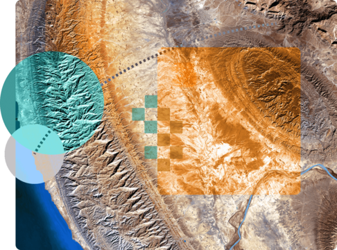
Monitoring and evaluating land conservation projects: monitoring and evaluating land conservation projects in Latin America (KfW) and Africa (AFD). By leveraging open-source and remote sensing data analyzed with the mapme.biodiversity package, the approach provides a robust method to assess the impact of conservation efforts on forest cover.
Project Location Data Model Standardization
The MAPME initiative organized two workshops and launched a working group focused on project location mapping standardization.
The first workshop on advancing project location mapping brought together development banks, funders, technical agencies, and NGOs to address key challenges in spatially documenting development projects, including limited standards, data quality issues, and institutional capacity gaps. Participants exchanged experiences with current practices, showcased how project location data is used for planning, monitoring, and evaluation, and explored how improved data can support collaboration, transparency, and accountability. Through collaborative design exercises, the group outlined ideal workflows to strengthen data collection and use. The workshop concluded with proposals for shared tools, standardized data models, and greater interoperability, laying the groundwork for ongoing community collaboration toward a common project location mapping standard across the development sector. Learn more here →
The second workshop on advancing project location mapping convened geospatial specialists from development institutions for a more technical, hands-on follow-up focused on project location data models and their alignment with the International Aid Transparency Initiative (IATI). Building on the challenges identified in the first workshop, participants compared institutional data schemas, examined the use of administrative boundary datasets, and discussed critical location-related attributes needed for meaningful geospatial analysis and reporting. The workshop emphasized operational and institutional considerations—such as governance, incentives, and interoperability—and concluded with the establishment of a dedicated MAPME working group to advance a shared, IATI-aligned project location data standard across the development sector. Learn more here →